Average Snowfall in North Grosvenordale, CT
38.5"
inches per year
Moderate Snow Area
Elevation: 344 ft
Based on the NOAA 1991–2020 Climate Normal — the official 30-year average of a typical winter, not any single season — from the nearest comparable-elevation weather station about 3 miles away.
North Grosvenordale Snowfall by Month
Snow season in North Grosvenordale typically runs from December through April, peaking in February with about 11.6" of snow.
Oct0.2"
Nov0.9"
Dec6.5"
Jan10.6"
Feb11.6"
Mar7.2"
Apr1.5"
May–
Jun–
Jul–
Aug–
Sep–
Average monthly snowfall, NOAA 1991–2020 Climate Normals.
What to Expect
That is about the US average annual snowfall of 28". At 38.5" per year, a solid snow shovel and windshield cover will get you through most storms. Keep ice melt and a scraper in the car.

Ohuhu Wheeled Snow Shovel, 30x12 Blade
Wide 30x12 inch steel blade with 8-inch jumbo wheels. Adjustable angle design clears snow efficiently from driveways and sidewalks.
Best sellerView on Amazon →
OxGord All-Weather Windshield Snow Cover
Doubles as a winter snow and ice shield and a summer sun shade. Protects against snow, frost, and UV. Fits cars, trucks, vans, and SUVs.
4-season useView on Amazon →
Zanch 27" Snow Brush & Ice Scraper
Detachable design with wider snow brush and ergonomic foam grip. Clears snow and ice without damaging your windshield.
2026 upgradeView on Amazon →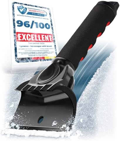
LYVANAS Ergonomic Ice Scraper
Ergonomic professional design for fast and efficient ice removal. Safe for windshields. Compact for easy car storage.
Top ratedView on Amazon →As an Amazon Associate, I earn from qualifying purchases.
Snow in Connecticut
| City | Annual Snow |
|---|---|
| Stafford | 63.5" |
| Staffordville | 63.5" |
| Danielson | 62" |
| East Killingly | 62" |
| Torrington | 59.1" |
| Hartford | 51.7" |
| Manchester | 51.7" |
| East Hartford | 51.7" |
| Farmington | 51.7" |
| Windsor | 51.7" |
| Suffield | 51.7" |
| Enfield | 51.7" |
| Wethersfield | 51.7" |
| Newington | 51.7" |
| Bloomfield | 51.7" |
| Broad Brook | 51.7" |
| East Granby | 51.7" |
| East Windsor Hill | 51.7" |
| Ellington | 51.7" |
| Glastonbury | 51.7" |
| Granby | 51.7" |
| Poquonock | 51.7" |
| Simsbury | 51.7" |
| Somers | 51.7" |
| Somersville | 51.7" |
| South Windsor | 51.7" |
| Tariffville | 51.7" |
| East Windsor | 51.7" |
| West Suffield | 51.7" |
| Windsor Locks | 51.7" |
| North Canton | 51.4" |
| North Granby | 51.4" |
| West Granby | 51.4" |
| West Simsbury | 51.4" |
| Danbury | 49.3" |
| Wolcott | 46.8" |
| Bethlehem | 46.8" |
| Oakville | 46.8" |
| Watertown | 46.8" |
| Vernon Rockville | 39" |
| Willington | 39" |
| West Hartford | 38.6" |
| New Britain | 38.6" |
| Unionville | 38.6" |
| Bristol | 38.6" |
| Avon | 38.6" |
| Canton | 38.6" |
| Canton Center | 38.6" |
| Collinsville | 38.6" |
| North Grosvenordale | 38.5" |
| Norwalk | 34" |
| New Haven | 33.6" |
Snowfall Near North Grosvenordale
| City | Distance | Annual Snow |
|---|---|---|
| Pascoag, RI | 10 mi | 62" |
| East Killingly, CT | 10 mi | 62" |
| Chepachet, RI | 12 mi | 62" |
| Danielson, CT | 12 mi | 62" |
| Harrisville, RI | 13 mi | 41.5" |